Apple introduced several new things at the Worldwide Developers Conference 2019 (WWDC 2019) in San Jose, California. Along with the iPadOS, iOS 13, and new Mac Pro devices, the company also shed light on the newly improved Apple Maps.
The Cupertino-giant has spent years in improving Apple Maps after the iOS 6 maps fiasco in order to drive out Google Maps for its own platform. This newly improved Apple Maps provides the US-based tech giant a big leap in dynamic rendering and interactivity, which could help it bring new users.

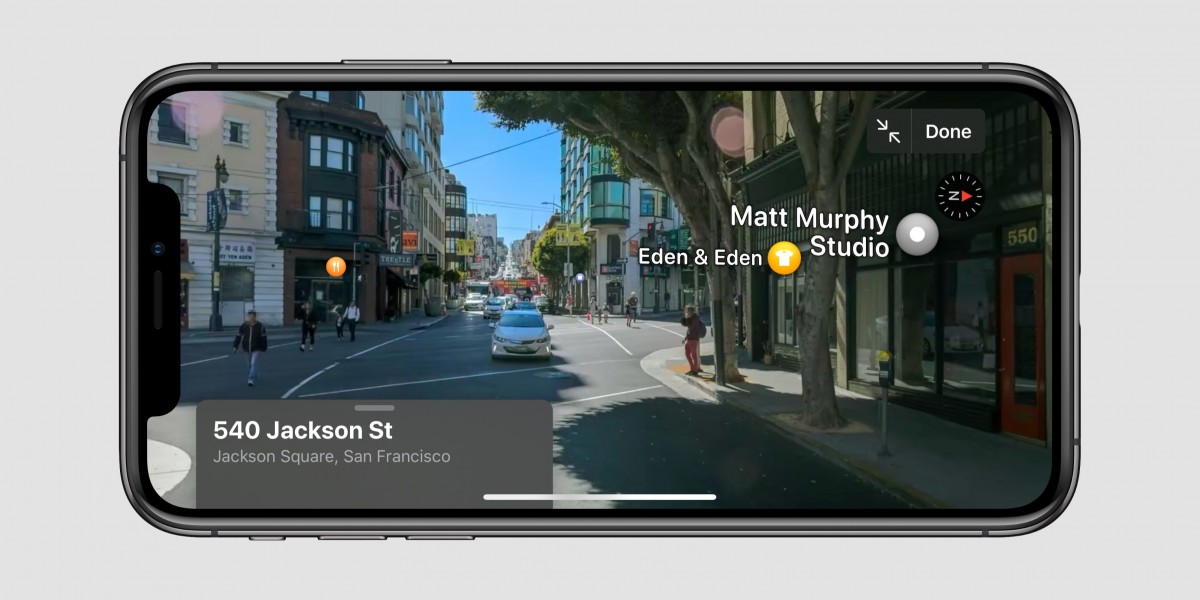
Apple is introducing a Google Maps’ Street View-style feature to Apple Maps. The feature lets the user tap into a spot on the map and look around at a 360-degree photo of what’s actually in that location. While Apple has already confirmed that this new feature will arrive in the newly announced iOS 13, the company has made clear how widely it would be available.
Craig Federighi, Apple’s Senior Vice President said that the updates will be rolled out across the US by the end of this year and more countries will be added next year. He also said that the team has covered some 4 million miles in the process of gathering more data for Maps.
Apparently, the company has been driving cars across the United States and several other countries to map the roads and collect imagery. Because of this, Apple was able to completely overhaul the data used to build out its maps, and provide imagery for this new feature.

Meg Frost, the director of product design, said that the new Maps app will feature a more detailed rendering of roads with more data about public spaces. She also said that users will be able to mark and skip to favorite locations just through a short tap.
It will also enable users to organize favorite locations into handy collections to make it easier to call up a specific subject-based list instead of scrolling through a larger list. Also, Collections can be used when you are planning a trip somewhere to pin all the places that you will want to visit.

